Caherdaniel to Staigue
Distance: 6.5km | Ascent: 150m | Time: 2hrs 15mins

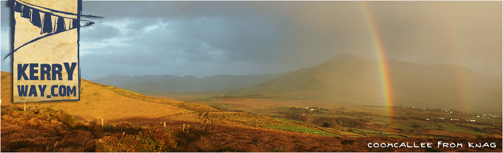
Staigue Fort, near the Kerry Way
Start: Caherdaniel (V 5510 5945)
Finish: River Staigue (V 6080 6205)
OS Map: No. 83 or 84
Grade: Easy
Leaving behind the busy 'Ring of Kerry' at Caherdaniel, the first 3km of trail follows an old green road to Behaghane. The trail climbs through a boulder field leading to the foot of Coad Mountain, where there is a split in the trail. The higher path follows the Waterville to Caherdaniel, inland stretch of the Kerry Way. This comes over the Windy Gap at Eagles Hill.
Upon reaching Behaghane, the Kerry Way picks up the course of a boreen for around 1km, passing an old church and graveyard in the process. After rejoining a green road for 1km, the track passes the Gowla River basin which has a large catchment area from Coad Mountain, Eagles Hill and Staigue. The trail once again emerges onto a tarmac surface. The road to the right leading down to small village at Castle Cove.
The remainder of this section shares a road used by tourists visiting the Staigue Stone Fort. Due care needs to be taken due this extra traffic. A permanent exhibition on Staigue is housed in a craft shop on the way down to Castle Cove. The fort itself is located around 1½km beyond the end of this stage. As it is one of the largest ring forts to be found in Ireland, it comes recommended as an excellent side-trip.
The final 1½km follows the hedge-lined road to the stage end at a beautiful old stone bridge which spans the Staigue River.
Connecting Stages...
Prev : Waterville to Caherdaniel by Coast
Prev : Waterville to Caherdaniel Inland
Next : Staigue to Sneem

