Staigue to Sneem
Distance: 10km | Ascent: 250m | Time: 4hrs 15mins

Coomnahorna from the foot of Esknaloughoge
Start: Staigue (V 6080 6205)
Finish: Sneem (V 6900 6685)
OS Map: No. 84
Grade: Easy
Starting from a beautiful stone bridge spanning Staigue River, the first 2km of the Kerry Way follows the remains of an old coach road. It rises 100m over the first kilometer and becomes quite boggy in places. Staigue Stone Fort is visible in the valley below to the north. Across the Kenmare River, Kilcatherine and Cod's Head can be seen on the Beara Peninsula. After crossing the ridge at Ardmore, the trail descends 100m through some forestry.
The trail now joins a boreen, passes a few country cottages and crosses the Bunnow River. After a brief divet, it climbs for 90m over 1km to reach the shoulder of Esknaloughoge. Having left the tarmac road behind, the ground can become boggy along sections of the trail. Reaching the mountain ridge, the Kerry Way passes through a more recently-felled forest on the 1km stretch to the main N70 Road, more commonly known as the 'Ring of Kerry'.
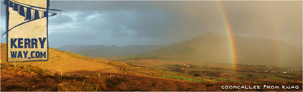
Views of various cliff faces of Coomcallee can be enjoyed before taking the short walk along the side of the N70. The trail quickly comes back onto quieter terrain. This next 3km section continues a 90m descent, gradually getting lower towards Sneem. It follows a mixture of track and back road as it parallels the Owreagh River before eventually crossing it at another block of forestry.
The final 2½km of the Kerry Way follows an extremely straight back road into Sneem. The last ½km of which is shared with the N70 once again. On entering the town, a host of colourful houses provide a warm welcome.
Connecting Stages...
Prev : Caherdaniel to Staigue
Next : Sneem to Tahilla

